



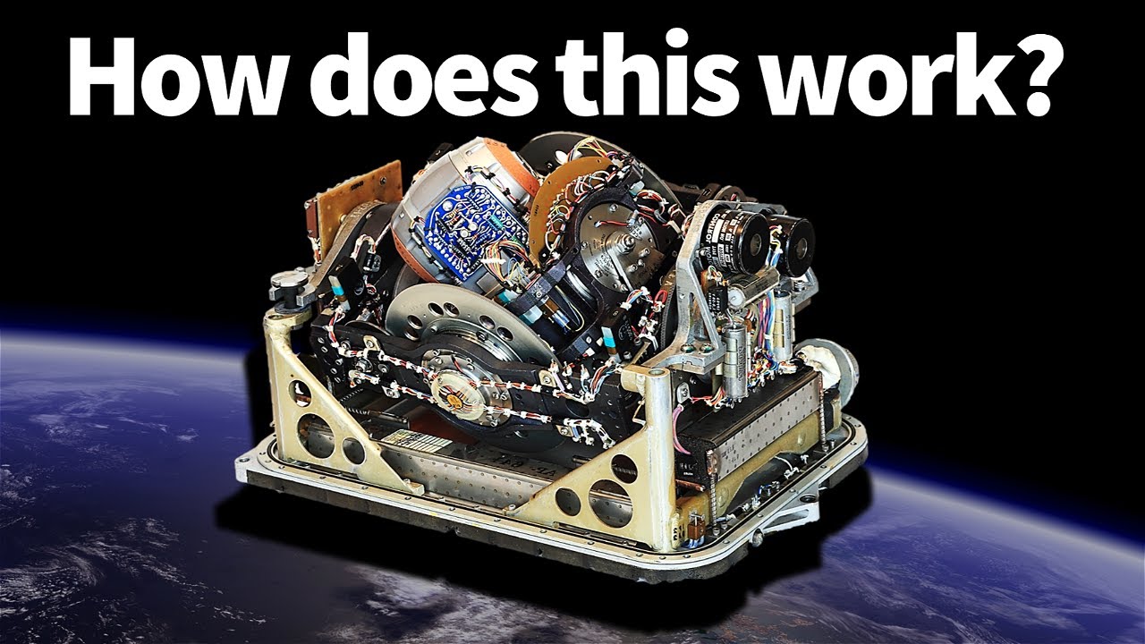
Modern navigation systems rely heavily on a combination of technologies to ensure accurate positioning, even in challenging environments. One of the most important combinations is How GPS and Inertial Navigation System Work Together, allowing devices like smartphones, aircraft, drones, and autonomous vehicles to determine their position with high precision.
Understanding GPS (Global Positioning System)
The Global Positioning System (GPS) is a satellite-based navigation system that provides location and time information anywhere on Earth. It works by receiving signals from multiple satellites orbiting the planet. A GPS receiver calculates its position by measuring the time it takes for signals to arrive from at least four satellites.
Key features of GPS:
- Provides global coverage
- High accuracy in open environments
- Depends on clear line-of-sight to satellites
- Can be affected by buildings, tunnels, or weather interference
While GPS is highly reliable outdoors, it can struggle in environments where satellite signals are weak or blocked.
Understanding Inertial Navigation Systems (INS)
An Inertial Navigation System (INS) uses motion sensors—primarily accelerometers and gyroscopes—to calculate position, velocity, and orientation without relying on external signals.
Key components of INS:
- Accelerometers: Measure linear acceleration
- Gyroscopes: Measure rotational movement
- Onboard computer: Continuously calculates position
INS has the advantage of working in environments where GPS cannot, such as underwater, inside tunnels, or during signal loss. However, it suffers from “drift,” meaning small errors accumulate over time, reducing accuracy.
How GPS and Inertial Navigation Systems Work Together in Modern Navigation
The real power comes when GPS and INS are combined. This integration is designed to overcome the weaknesses of each system while enhancing overall performance.
When working together:
- GPS provides long-term accuracy and corrects drift from INS
- INS provides short-term accuracy and fills gaps when GPS signals are lost
- The system continuously cross-checks data from both sources
This hybrid approach is widely used in aviation, military systems, autonomous driving, and robotics, where consistent and reliable navigation is critical.
A key technology behind this integration is the Kalman filter, a mathematical algorithm that blends data from both systems to produce the most accurate estimate of position and movement.
Integration Techniques: Kalman Filtering
The Kalman filter plays a central role in making the combination effective. It works by:
- Predicting position using INS data
- Correcting errors using GPS updates
- Minimizing noise and uncertainty from both systems
This continuous feedback loop ensures that navigation remains stable, even when one system becomes temporarily unreliable.
Applications of Combined GPS and INS Systems
The integration of these technologies is used in many real-world applications:
- Aviation: Aircraft navigation and autopilot systems
- Autonomous vehicles: Self-driving car positioning and lane tracking
- Drones: Stable flight control and GPS-denied navigation
- Marine navigation: Submarines and ships operating in difficult conditions
- Military systems: Missile guidance and battlefield navigation
Each of these applications benefits from the resilience and accuracy provided by the combined system.
Conclusion
Understanding How GPS and Inertial Navigation Systems Work Together is essential for appreciating modern navigation technology. By combining the long-term stability of GPS with the short-term precision of INS, engineers create systems that are both highly accurate and reliable, even in challenging environments where one system alone would fail.
